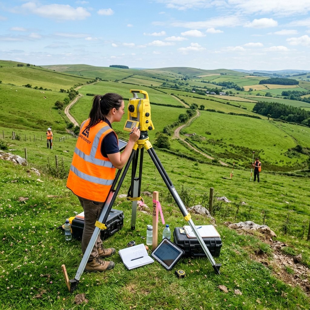
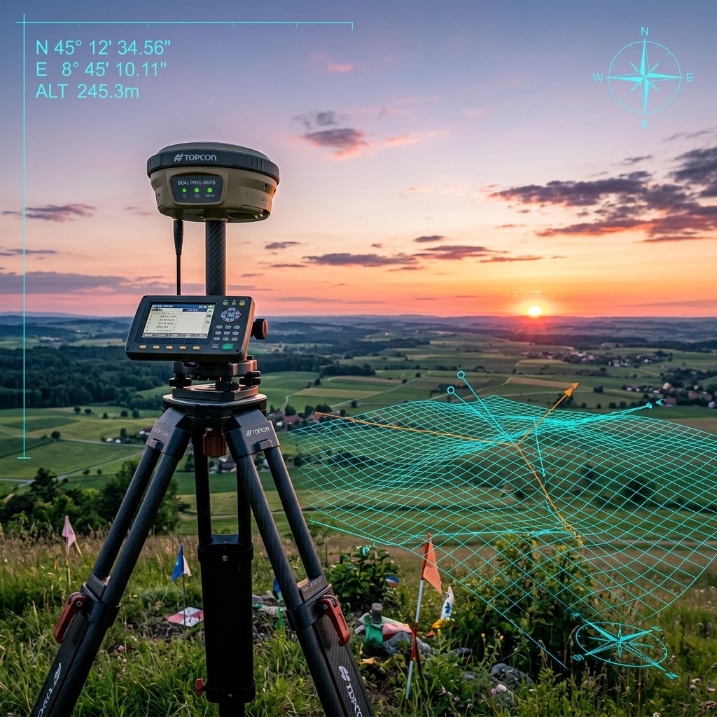
Certified accuracy loops using dual-frequency RTK DGPS instrumentation.
High-resolution orthomosaics & topographic mapping from DGCA licensed pilots.
Millions of coordinates generated to compile structural digital twins & volume grids.
Advanced ground penetrating radar maps utility pipelines & underground structural layers.
For over 15 years, Beena Enterprises has combined high-performance engineering instrumentation with geographic information databases to provide actionable, reliable reports. We support corporate development firms, highway construction developers, and private landowners.
Our team of licensed cadastral surveyors and remote sensing experts leverage high-frequency LiDAR scans, robotic Total Stations, and multi-constellation DGPS networks to ensure absolute coordinate fidelity.
Learn More About UsWe combine advanced technologies with rigorous field surveying practices to deliver industry-best data output.
Utilizing differential correction base units (DGPS) coupled with robotic Total Stations to guarantee the lowest errors on structural stakes.
Rapidly generating highly-detailed digital terrain models (DTM) and 3D orthophotos over thousands of acres in days, not months.
All our boundary and cadastral layouts are signed and certified by registered surveying engineers, satisfying legal requirements.
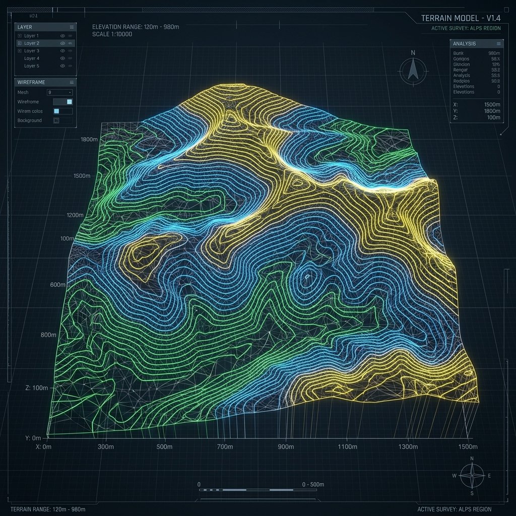
Our geodetic engineering teams convert raw physical layouts into highly structured 3D spatial models. Move the interactive slider handle left and right to compare raw field photogrammetry against our processed sub-centimeter accuracy vector design files.
We provide end-to-end geospatial surveys, DGPS reference network setups, drone topographical contour maps, LiDAR digital twins, and subsurface scans across India.
Verifying final constructed elements against architectural and design blueprints.
Underwater depth profiling, riverbed profiling, and siltation studies using digital echo sounders and GPS-equipped boats.
Precise identification and marking of property lines to resolve land disputes.
High-precision deformation monitoring and structural alignments for bridges.
Legally recognized boundary mapping for land registration and tax records.
Providing structural layouts, reference grids, and staking for building projects.
We own and operate high-fidelity surveying equipment to guarantee absolute coordinate accuracy.
Leica Nova & Trimble units for precision angular offsets.
Trimble R12 RTK for absolute satellite datum coordinates.
DJI Matrice 300 RTK drones for high density photogrammetry.
IDS GeoRadar subsurface sensors for utility mappings.
Every survey campaign undergoes strict quality check gates to verify coordinate accuracy before blueprints hit construction.
Consulting legal records, collecting coordinate databases, and defining baseline control benchmarks.
Field crews coordinate to site layout and measure physical bounds using laser scanners and GNSS units.
Downloading point coords and drafting layouts (.DWG), calculating heights, boundaries and terrain shapes.
Quality assurance engineers review alignments, stamp sheets, and dispatch files to project stakeholders.
Providing specialized survey alignments and digital spatial twins for core developers across India.
High-precision alignments, corridor profiling, and cross-section modeling for NHAI national highways, expressways, and urban road networks.
Topographical contours, digital terrain modeling (DTM), and shadow analysis for optimal panel spacing in large-scale utility solar parks.
Geodetic control setup, clearance profiling, structural monitoring, and track alignment verification for high-speed rail corridors.
Cadastral boundary demarcation, as-built surveys, and subsurface utility layout tracking for commercial projects and townships.